
Photo Живко Раев · CC BY-SA 4.0 · Wikimedia Commons
Zlatna Panega karst springs
Златна Панега карстови извори
Strong turquoise karst springs feeding the Zlatna Panega River near the village of the same name. Overhanging trees, small bridges, and clear, slow-moving water create almost tropical-looking scenes in the right light, yet the site is mostly visited by locals.
When to go.
A per-season read on whether Zlatna Panega karst springs is at its best, simply open, or worth skipping. Confidence reflects research depth.
High discharge from snowmelt intensifies turquoise color, with accessible riverbanks for photography.
Constant water temperature is refreshing; picnic spots get busy on hot weekends, reducing tranquility.
Stable flows and fewer bathers make October visits quiet; surrounding foliage adds color contrast.
Springs remain ice‑free but cold air and muddy access tracks reduce dwell time at the banks.
How to reach it.
- Region
- Danube
- Type
- hiddengem
- Nearest town
- Lukovit
- Access
- Access via local roads to Zlatna Panega village, then short walks along informal riverside paths; some sections are muddy. Avoid disturbing anglers and be cautious with drones around power lines and trees.
- Duration
- 1–2 hrs
- Elevation
- 150 m
- Coordinates
- 43.2241, 24.2497
Zlatna Panega karst springs in place.
Topographic base with hiking trails on the tiles themselves. Nearby destinations in Danube appear as faded markers - click any to jump there.
In the same region.
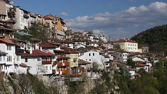
Veliko Tarnovo
The former medieval capital is one of the country’s strongest city destinations, even beyond Tsarevets. Its steep streets, river bends, and layered history make it an indispensable national reference point.
Scenic 94 / 100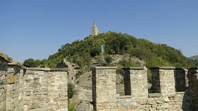
Veliko Tarnovo & Tsarevets Fortress
Veliko Tarnovo cascades down steep ridges above the Yantra River, with Tsarevets fortress dominating a horseshoe meander. Restored walls trace the medieval Bulgarian capital, while a cobbled ascent leads to palace ruins and the Patriarchal church viewpoint. Evening sound‑and‑light shows periodically illuminate the hill, drawing both Bulgarians and international visitors.
Scenic 93 / 100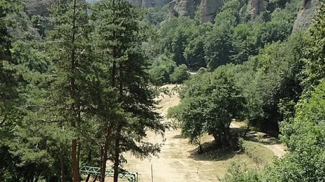
Belogradchik Rocks & Kaleto Fortress
Sandstone and conglomerate towers ring the restored Kaleto fortress above Belogradchik, creating one of Bulgaria’s most surreal panoramas. Ottoman-era walls climb between red cliffs, with paths leading to multiple terraces over the town and western Balkan range. The site mixes easy viewpoints with short, steep stairways that can be slippery after rain.
Scenic 92 / 100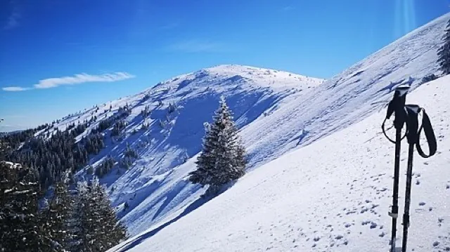
Kom–Emine Trail: Western Stara Planina Section
The Kom–Emine route, Bulgaria’s classic long-distance trail, begins at Mount Kom near the Serbian border and follows the Balkan ridge east to Cape Emine. Western stretches above Berkovitsa and Petrohan offer grassy summits, wind‑exposed ridgelines and basic huts. Local hikers often sample one‑ or two‑day sections rather than committing to the full 20–25 day traverse.
Scenic 90 / 100