
Photo karel291 · CC BY 3.0 · Wikimedia Commons
Madara Horseman Rock Relief
Мадарски конник
The Madara Horseman is an early medieval rock relief carved high on a cliff near Madara village, inscribed by UNESCO for its historical significance. A forested path and stairway lead to the base viewpoint, with additional trails climbing to the plateau top and early medieval remains. The nearby park and springs offer shaded picnic spots on hot days.
When to go.
A per-season read on whether Madara Horseman Rock Relief is at its best, simply open, or worth skipping. Confidence reflects research depth.
Comfortable temperatures and green plateau; rock path below the relief is less slippery after April.
Exposed rock gets hot and climbing staircases at midday is taxing; early hours recommended.
Crisp weather and thinner crowds in September–October improve climbing conditions and photo quality.
Rock steps can ice, and shorter days limit a combined visit with Pliska or Preslav.
How to reach it.
- Region
- Danube
- Type
- sacred
- Nearest town
- Shumen
- Access
- Reached from the Shumen–Varna road via Madara village; a visitor centre and car park stand at the trailhead.
- Duration
- 1.5-2h including plateau walk
- Difficulty
- moderate
- Elevation
- 100 m
- Crowds at peak
- medium
- Coordinates
- 43.2750, 27.1190
Madara Horseman Rock Relief in place.
Topographic base with hiking trails on the tiles themselves. Nearby destinations in Danube appear as faded markers - click any to jump there.
In the same region.
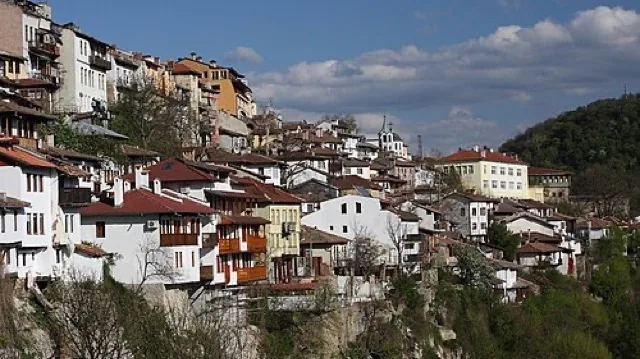
Veliko Tarnovo
The former medieval capital is one of the country’s strongest city destinations, even beyond Tsarevets. Its steep streets, river bends, and layered history make it an indispensable national reference point.
Scenic 94 / 100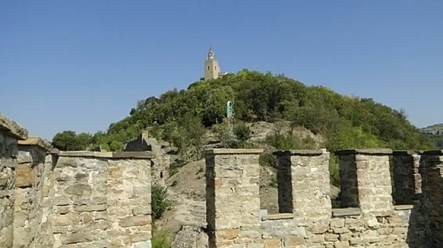
Veliko Tarnovo & Tsarevets Fortress
Veliko Tarnovo cascades down steep ridges above the Yantra River, with Tsarevets fortress dominating a horseshoe meander. Restored walls trace the medieval Bulgarian capital, while a cobbled ascent leads to palace ruins and the Patriarchal church viewpoint. Evening sound‑and‑light shows periodically illuminate the hill, drawing both Bulgarians and international visitors.
Scenic 93 / 100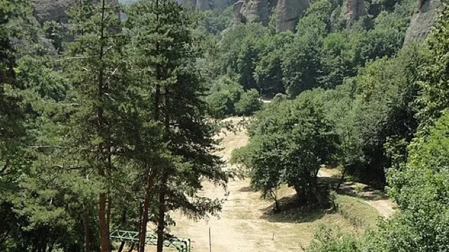
Belogradchik Rocks & Kaleto Fortress
Sandstone and conglomerate towers ring the restored Kaleto fortress above Belogradchik, creating one of Bulgaria’s most surreal panoramas. Ottoman-era walls climb between red cliffs, with paths leading to multiple terraces over the town and western Balkan range. The site mixes easy viewpoints with short, steep stairways that can be slippery after rain.
Scenic 92 / 100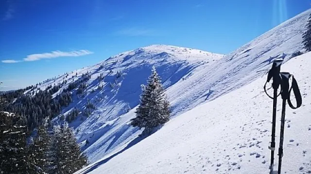
Kom–Emine Trail: Western Stara Planina Section
The Kom–Emine route, Bulgaria’s classic long-distance trail, begins at Mount Kom near the Serbian border and follows the Balkan ridge east to Cape Emine. Western stretches above Berkovitsa and Petrohan offer grassy summits, wind‑exposed ridgelines and basic huts. Local hikers often sample one‑ or two‑day sections rather than committing to the full 20–25 day traverse.
Scenic 90 / 100