
Photo Nikolai Karaneschev · CC BY 3.0 · Wikimedia Commons
Razlog occupies a wide basin between Pirin, Rila and the Rhodopes, offering open views of all three ranges. The town itself is workaday but has a compact centre, local restaurants and accommodation suiting travelers who prefer a less touristic base than Bansko. From here, roads fan out towards Predel Pass, Bansko and the southern Struma valley.
When to go.
A per-season read on whether Razlog is at its best, simply open, or worth skipping. Confidence reflects research depth.
Valley fields green; town quiet but occasional dust from nearby construction and changeable showers.
Warm stable weather; functions mainly as transit hub to Bansko and Banya with modest evening activity.
Harvest period and clear views of Pirin; cultural events around September enliven main square.
Snowy but accessible; serves as cheaper base for Bansko skiing though streets can be icy.
How to reach it.
- Region
- Pirin
- Type
- city
- Nearest town
- Razlog
- Access
- Located on the main road between Bansko and Predel Pass, Razlog is reached by regional buses from Sofia and Blagoevgrad.
- Duration
- 1-2h stop; or base for 1-2 nights
- Elevation
- 836 m
- Crowds at peak
- medium
- Coordinates
- 41.8867, 23.4675
Razlog in place.
Topographic base with hiking trails on the tiles themselves. Nearby destinations in Pirin appear as faded markers - click any to jump there.
In the same region.
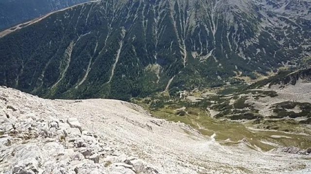
Vihren Peak
Vihren is Pirin’s highest summit and Bulgaria’s second-highest peak, a sharp limestone pyramid rising above the Banderitsa valley. The classic ascent from Vihren Hut is steep and mostly on broken rock, with snow patches often lingering into early summer. In clear weather, the summit offers sweeping views towards Kutelo, Koncheto ridge and the marble north face.
Scenic 94 / 100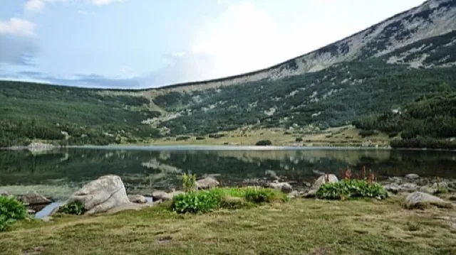
Pirin National Park
Pirin National Park covers most of the high range, from old-growth conifer forests to marble and granite summits over 2900m. Recognised as a UNESCO World Heritage Site, it protects glacial lakes, endemic flora and extensive alpine habitats, while still accommodating waymarked hiking routes and huts. Visitors usually experience it via gateways like Bansko, Dobrinishte or the Sandanski side valleys.
Scenic 93 / 100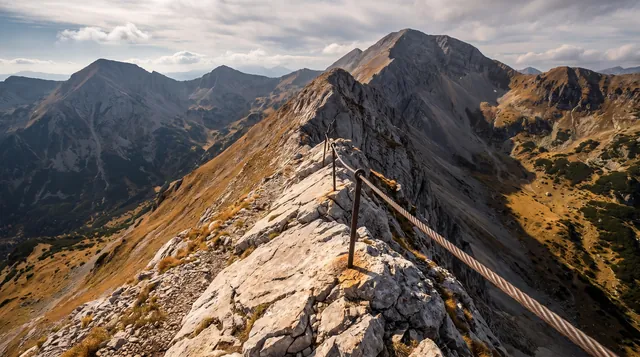
Koncheto Ridge Traverse
Koncheto is a narrow, airy limestone ridge between peaks Banski Suhodol and Kutelo, secured with a cable in its most exposed section. The traverse combines steep scree, short scrambling and constant exposure, recommended only for experienced, sure-footed hikers in stable weather. Views drop abruptly to the cirques of Banski Suhodol and Golem Kazan, dramatizing Pirin’s alpine character.
Scenic 92 / 100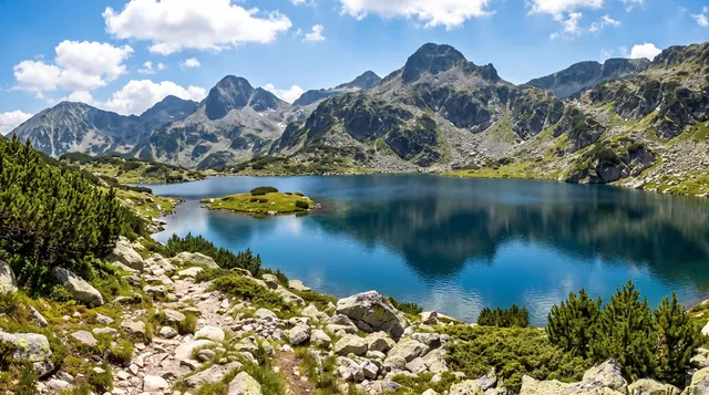
Popovo Lake
Popovo Lake is Pirin’s largest glacial lake, surrounded by granite peaks and often photographed with its small islet in the foreground. It is usually reached from Bezbog Hut via the Bezbog chairlift, making the hike accessible yet still substantial at altitude. Good weather rewards with mirror-like reflections and views towards the Kamenitsa and Dzhangal sectors of northern Pirin.
Scenic 90 / 100