Saint John Letni Chapel ridge above Izvorishte
Параклис „Свети Йоан Летни“ над Изворище
Small hilltop chapel on a grassy ridge above the village of Izvorishte, west of Burgas, with 360° views over low mountains, fields, and the distant Black Sea. The white chapel and lone trees photograph beautifully against dramatic skies and at sunset; access is via a rough dirt road from the village, so it remains largely untouristed.[1]
Small hilltop chapel on a grassy ridge above the village of Izvorishte, west of Burgas, with 360° views over low mountains, fields, and the distant Black Sea. The white chapel and lone trees photograph beautifully against dramatic skies and at sunset; access is via a rough dirt road from the village, so it remains largely untouristed.[1]
When to go.
A per-season read on whether Saint John Letni Chapel ridge above Izvorishte is at its best, simply open, or worth skipping. Confidence reflects research depth.
Forested ridge dries by April; wildflowers and 10–18°C temperatures make the short hike comfortable.[5]
Views are clear but heat and horseflies in July afternoons encourage very early ascents.[5]
Early November foliage and stable weather offer rewarding photo conditions from the 380m ridge.[5]
Occasional snow and ice on forest track require caution but elevation rarely blocks access completely.[5]
How to reach it.
- Region
- Black Sea
- Type
- photospot
- Nearest town
- Burgas
- Access
- Reach Izvorishte by car or bus from Burgas, then continue through the village and follow a dirt road along the ridge; standard cars need to park about 1 km before the chapel and continue on foot, while SUVs can drive closer.[1]
- Duration
- 1–2 hrs on-site;half-day from Burgas
- Elevation
- 380 m
- Coordinates
- 43.2253, 27.6927
Saint John Letni Chapel ridge above Izvorishte in place.
Topographic base with hiking trails on the tiles themselves. Nearby destinations in Black Sea appear as faded markers - click any to jump there.
In the same region.
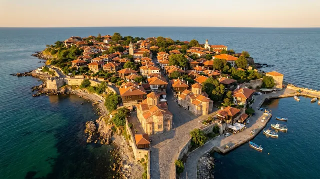
Old Town Nessebar
Nessebar’s old peninsula is one of Bulgaria’s most famous heritage landscapes and a UNESCO-listed urban ensemble. The setting on a narrow sea edge gives it more photogenic power than a typical historic town.
Scenic 95 / 100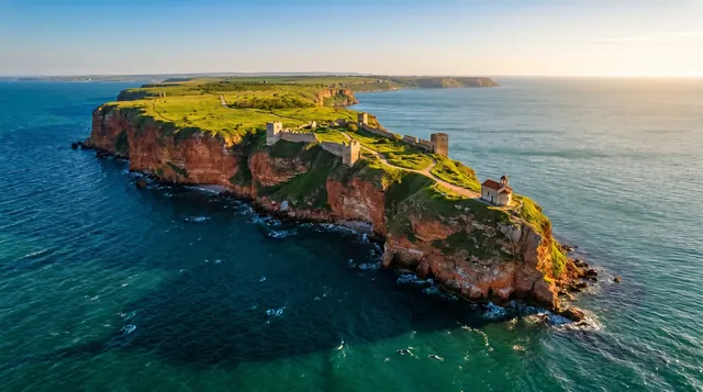
Cape Kaliakra
A narrow limestone headland projecting deep into the sea, edged by 60–70 m cliffs and exposed to constant wind.[3] Remains of fortifications, gate walls, and a small chapel line the access path along with memorials to local legends. Dolphins and cormorants are occasionally seen below the cliffs on calm days.
Scenic 94 / 100Nessebar Old Town (UNESCO)
Narrow peninsula linked by a causeway, packed with medieval churches and Black Sea merchant houses.[3] The UNESCO-listed core preserves city walls, lanes, and seaside promenades with constant views of the water. Tourist stalls are intrusive in season, but early and late hours still feel atmospheric.
Scenic 92 / 100Cape Emine
Wind-exposed promontory marking the conventional boundary between the northern and southern Bulgarian Black Sea coast and the end of the E3 Kom–Emine trail.[7] Steep slopes drop to rocky inlets and remnants of military installations, while a lighthouse and small chapel sit above. Access tracks can be rough, and in bad weather the cape feels very isolated.
Scenic 90 / 100